A strong Pacific storm continues to track across the Great Basin. Heavy snow is expected across the higher elevations and heavy rain across lower terrain. Strong gusty winds will make for additional hazards for travelers. These winds will bring increasing fire weather concerns for the southern High Plains. Then we will closely watch for severe thunderstorms across the central Plains on Monday. Read More >
Memphis
Center Weather Service Unit
|
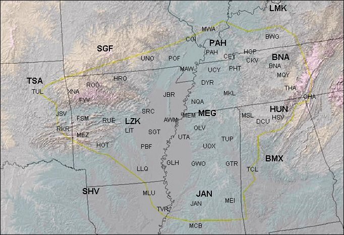
Forecast Tools: Airport Minimums/Information/Regional GraphicCasts SCROLL OVER SITES FOR CIG/VIS MINIMUMS...AND CLICK FOR MORE INFO NATIONAL WEATHER SERVICE REGIONAL GRAPHICAL FORECAST/OUTLOOKS IN BOLD
|


